চিত্র:Lambton Everest C India.jpg

এই প্রাকদর্শনের আকার: ২২০ × ২২৬ পিক্সেল। অন্যান্য আকারসমূহ: ২৩৩ × ২৪০ পিক্সেল | ১,৬৬৫ × ১,৭১২ পিক্সেল।
মূল ফাইল (১,৬৬৫ × ১,৭১২ পিক্সেল, ফাইলের আকার: ১.৫৫ মেগাবাইট, এমআইএমই ধরন: image/jpeg)
সারাংশ
| বর্ণনাLambton Everest C India.jpg |
Lambton and Everest triangulations in central India |
|||||||||
| তারিখ | pre-1830 | |||||||||
| উৎস | Historical Records of the Survey of India. Volume III. 1815-1830 | |||||||||
| স্রষ্টা |
Government of India; |
|||||||||
| অনুমতি (এ ফাইলের পুনঃব্যবহার) |
|
|||||||||
| Geotemporal data | ||||||||||
| ভৌগলিক সীমা |
|
|||||||||
| Warper-এ মানচিত্রের আস্তরণ | ||||||||||


ক্যাপশন
এই ফাইলটি কী উপস্থাপন করছে তার এক লাইন ব্যাখ্যা যোগ করুন
ফাইলের ইতিহাস
যেকোনো তারিখ/সময়ে ক্লিক করে দেখুন ফাইলটি তখন কী অবস্থায় ছিল।
| তারিখ/সময় | সংক্ষেপচিত্র | মাত্রা | ব্যবহারকারী | মন্তব্য | |
|---|---|---|---|---|---|
| বর্তমান | ১০:০১, ৯ মে ২০২০ | 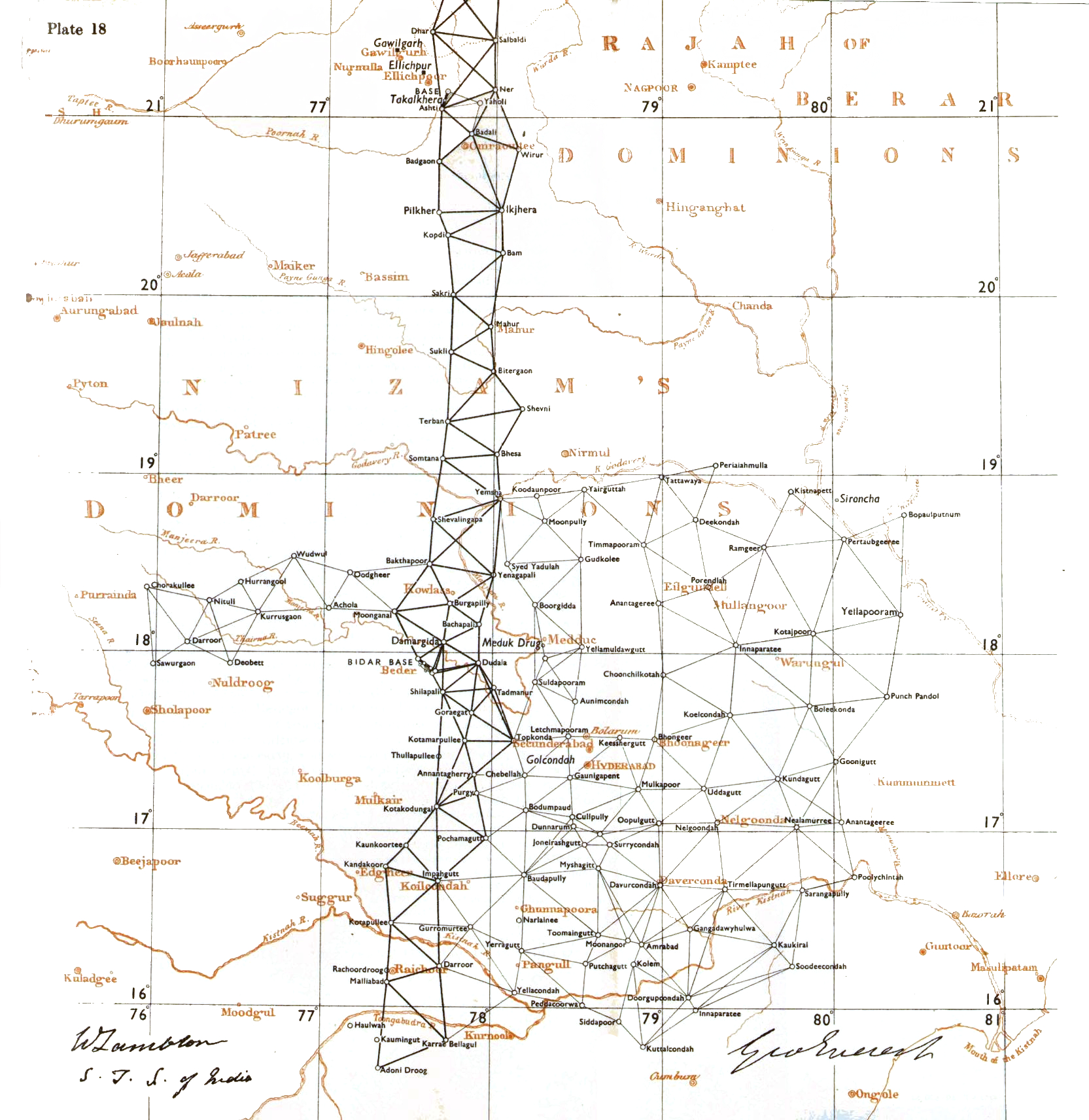 | ১,৬৬৫ × ১,৭১২ (১.৫৫ মেগাবাইট) | smartcommons>Shyamal | {{Information |Description=Lambton and Everest triangulations in central India |Source=Historical Records of the Survey of India. Volume III. 1815-1830 |Date=pre-1830 |Author=Government of India; |Permission={{pd-old-100}} |other_versions= }} Category:Maps of India |
ফাইলের ব্যবহার
এই ফাইল ব্যবহার করে এমন কোনো পাতা নেই।
