চিত্র:Rome-Seleucia-Parthia 200bc.jpg

মূল ফাইল (১,২০৫ × ৫৬৭ পিক্সেল, ফাইলের আকার: ৭৬৭ কিলোবাইট, এমআইএমই ধরন: image/jpeg)

|
This historical map image could be re-created using vector graphics as a SVG file. This has several advantages; see Commons:Media for cleanup for more information. If a SVG form of this image is available, please upload it and afterwards replace this template with
{{vector version available|new image name}}.It is recommended to name the SVG file “Rome-Seleucia-Parthia 200bc.svg”—then the template Vector version available (or Vva) does not need the new image name parameter. |


সারাংশ
| বিবরণRome-Seleucia-Parthia 200bc.jpg |
English: Roman, Seleucid, and Parthian Empires in 200 BC. The key is cut off from the full map, but the numbered states are:
1 Marseille (Greek) |
| তারিখ | 6-05-2008 |
| উৎস | নিজের কাজ |
| লেখক | Talessman |
| অন্যান্য সংস্করণ | Image:East-Hem_200bc.jpg, File:Rome-Seleucia-Parthia 200bc-ar.jpg |

Author: Thomas A. Lessman. Source URL: http://www.ThomasLessman.com/History/images/East-Hem_200bc.jpg. Image was created by me (Thomas Lessman) based on my map of Eastern Hemisphere in 200 BC.

Map Summary

Original Source URL: http://www.thomaslessman.com/History/images/East-Hem_200bc.jpg
Roman Republic is shown in Purple. The Blue area represents the Seleucid Empire. The Parthian Empire is shown in Yellow.

Map Source References
Remember, sources often conflict with each other. This map is only as accurate as the information that is available to me. To report any errors or to help further this work, please click here, or email Thomas Lessman at [email protected]
References for information contained in this map:

Other Maps by Thomas Lessman
| Maps of the eastern hemisphere showing history
Bold dates are available on Wikimedia or Wikipedia. | ||
| Primeval | ||
| Ancient
|
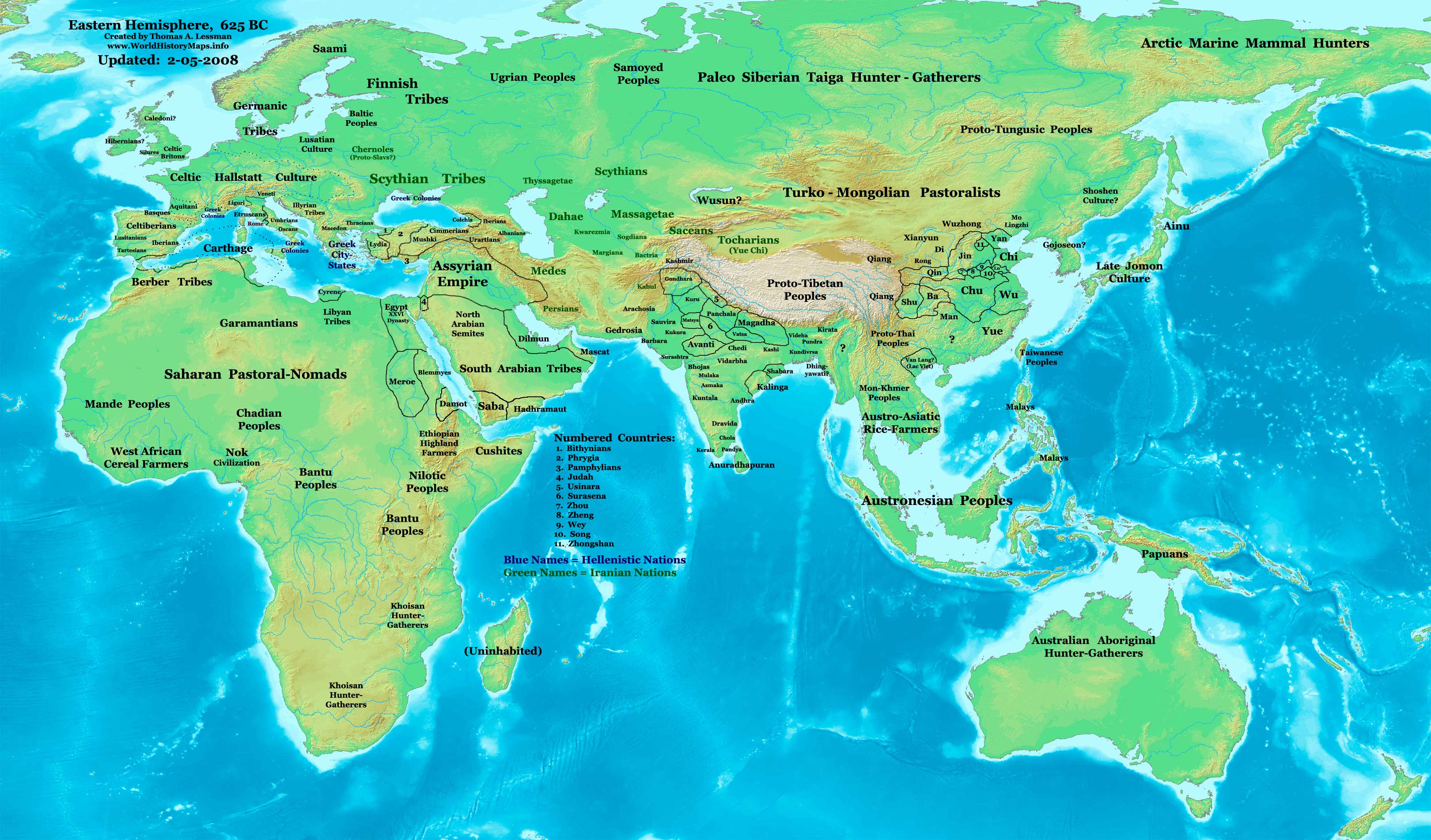
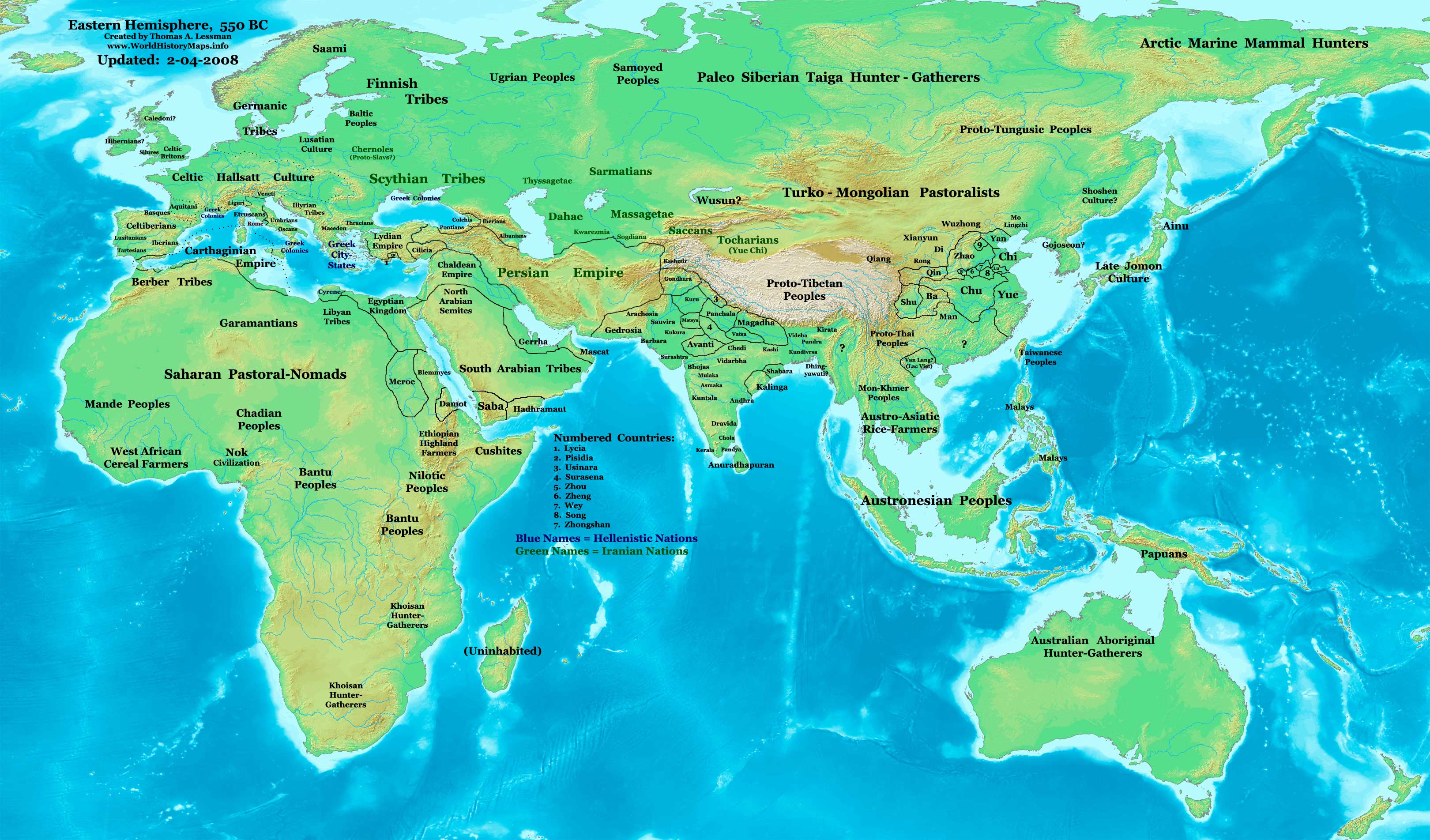
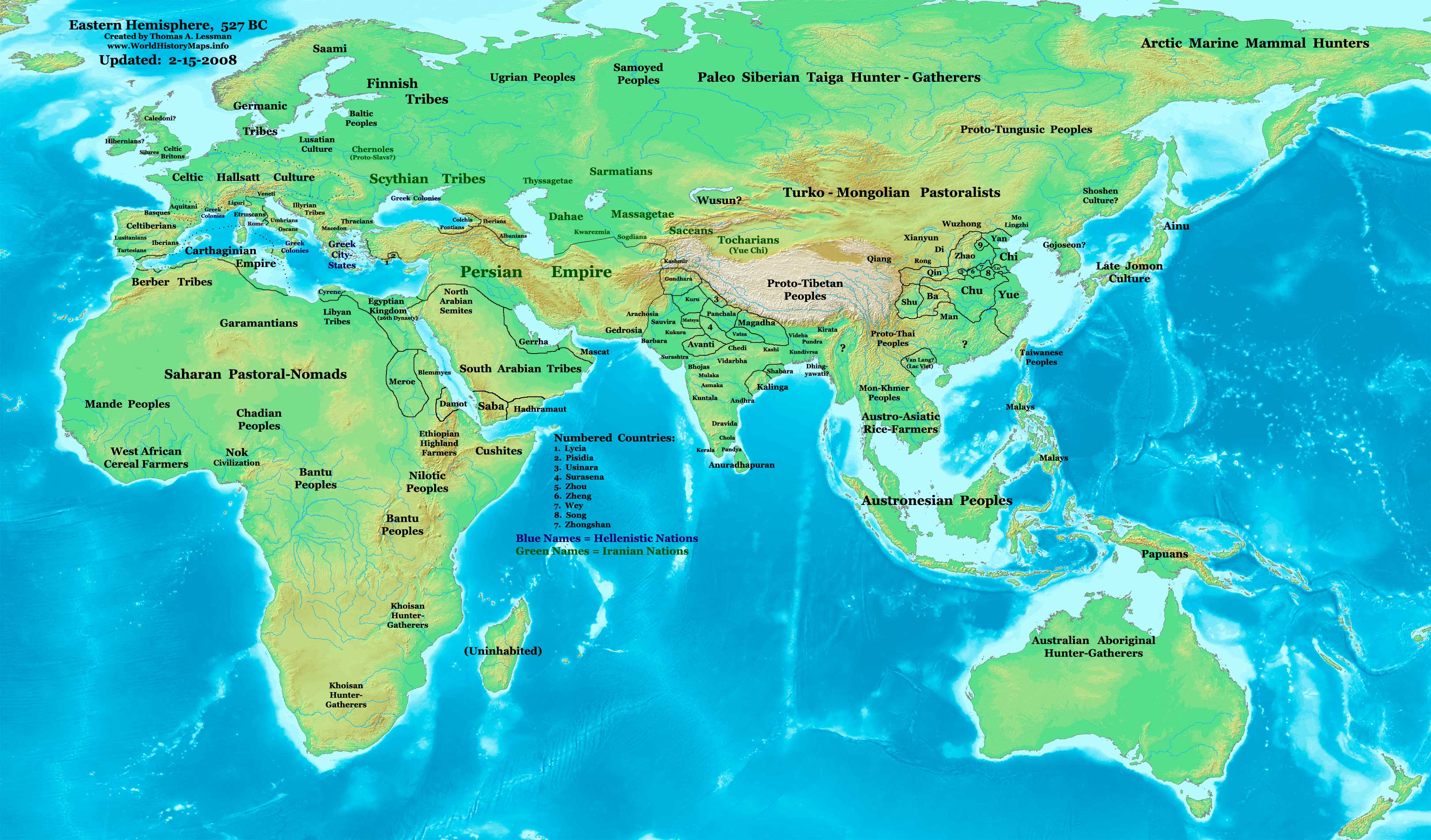
·| 600 BC | 550 BC | 527 BC | 500 BC |
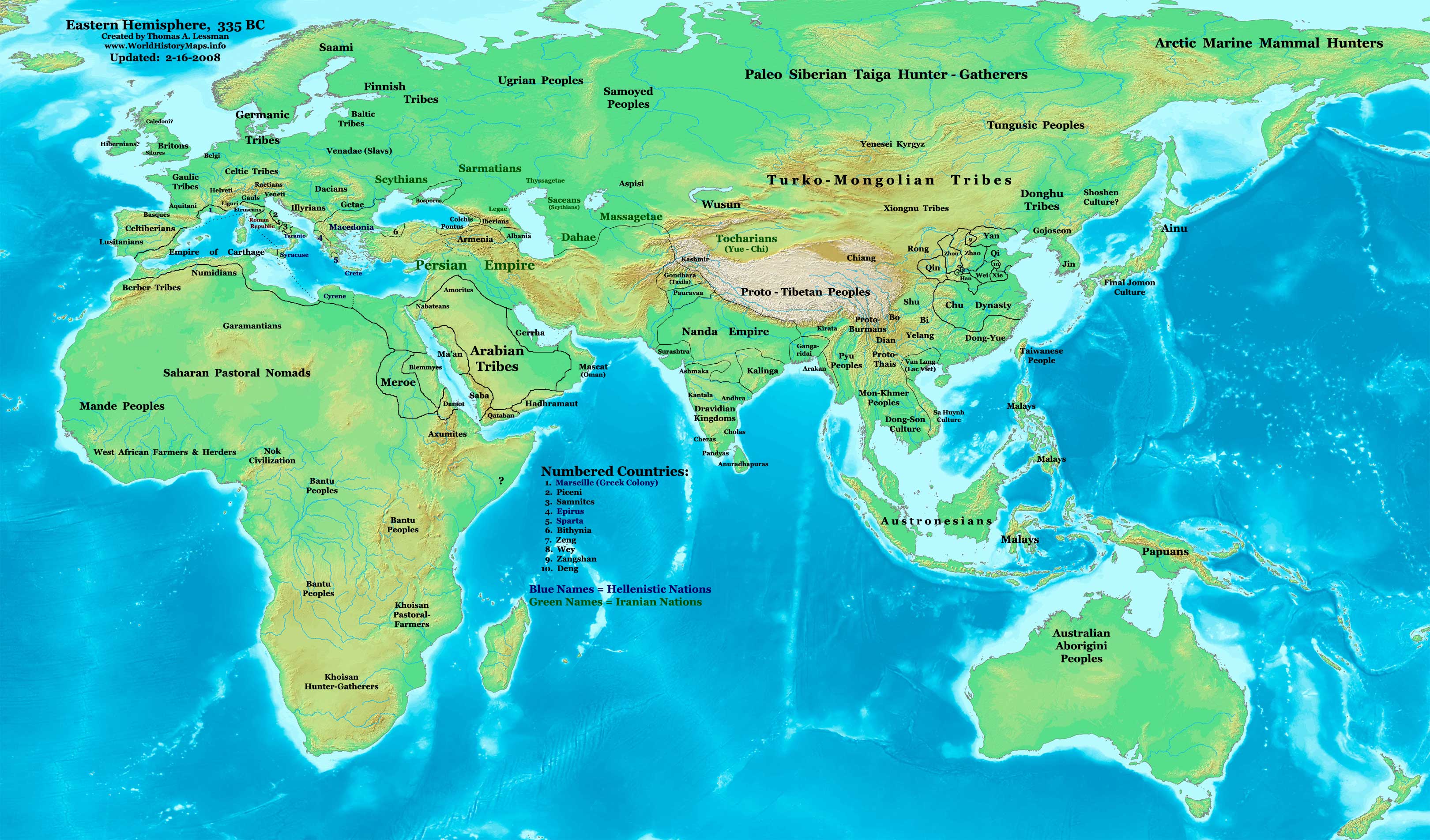
400 BC | ·| 1 AD | 50 AD | 100 AD | 200 AD | 300 AD | | |
| Medieval |
·| 500 AD | 565 AD | 600 AD | 700 AD | | |
| Modern |
·| 1500 AD | · * For historical maps of the whole world, | |










Other Info
লাইসেন্স প্রদান


- আপনি স্বাধীনভাবে:
- বণ্টন করতে পারেন – এ কাজটি অনুলিপি, বিতরণ এবং প্রেরণ করতে পারেন
- পুনঃমিশ্রণ করতে পারেন – কাজটি অভিযোজন করতে পারেন
- নিম্নের শর্তাবলীর ভিত্তিতে:
- স্বীকৃতিপ্রদান – আপনাকে অবশ্যই যথাযথ স্বীকৃতি প্রদান করতে হবে, লাইসেন্সের একটি লিঙ্ক সরবরাহ করতে হবে এবং কোনো পরিবর্তন হয়েছে কিনা তা নির্দেশ করতে হবে। আপনি যেকোনো যুক্তিসঙ্গত পদ্ধতিতে এটি করতে পারেন। কিন্তু এমন ভাবে নয়, যাতে প্রকাশ পায় যে লাইসেন্সধারী আপনাকে বা আপনার এই ব্যবহারের জন্য অনুমোদন দিয়েছে।
- একইভাবে বণ্টন – আপনি যদি কাজটি পুনঃমিশ্রণ, রুপান্তর, বা এর ওপর ভিত্তি করে নতুন সৃষ্টিকর্ম তৈরি করেন, তবে আপনাকে অবশ্যই আপনার অবদান একই লাইসেন্স বা একই রকমের লাইসেন্সের আওতায় বিতরণ করতে হবে।
ক্যাপশন
ফাইলের ইতিহাস
যেকোনো তারিখ/সময়ে ক্লিক করে দেখুন ফাইলটি তখন কী অবস্থায় ছিল।
| তারিখ/সময় | সংক্ষেপচিত্র | মাত্রা | ব্যবহারকারী | মন্তব্য | |
|---|---|---|---|---|---|
| বর্তমান | ১৩:৩৩, ৬ জুন ২০০৮ |  | ১,২০৫ × ৫৬৭ (৭৬৭ কিলোবাইট) | smartcommons>Talessman | {{Information |Description={{en|1=thumb|250px|left|Full map: Eastern Hemisphere in 200 BC. '''Original Source URL:''' http://www.thomaslessman.com/History/images/East-Hem_200bc.jpg '''This map is a zoomed-in |

ফাইলের ব্যবহার
এই ফাইল ব্যবহার করে এমন কোনো পাতা নেই।
