
Lukung | |
|---|---|
| Lua error in Module:Location_map at line 501: Unable to find the specified location map definition: "Module:Location map/data/Ladakh" does not exist. | |
| Coordinates: 33°59′43.722″N 78°24′47.292″E / 33.99547833°N 78.41313667°E | |
| Country |  India India |
| Union Territory | Ladakh |
| Territory | Ladakh |
| District | Leh district |
| Elevation | 4,378 m (14,364 ft) |
Lukung is a village located on the banks of Pangong Tso, near Line of Actual Control in the Leh District, Ladakh.
Location[edit | edit source]
Lukung is located 142 km east of Leh and is known as Gateway to Pangong Tso.[2] Its elevation is 4,378 m (14,364 ft).[3]
Gallery[edit | edit source]
-
 Lukung valley area (May 2016)
 -
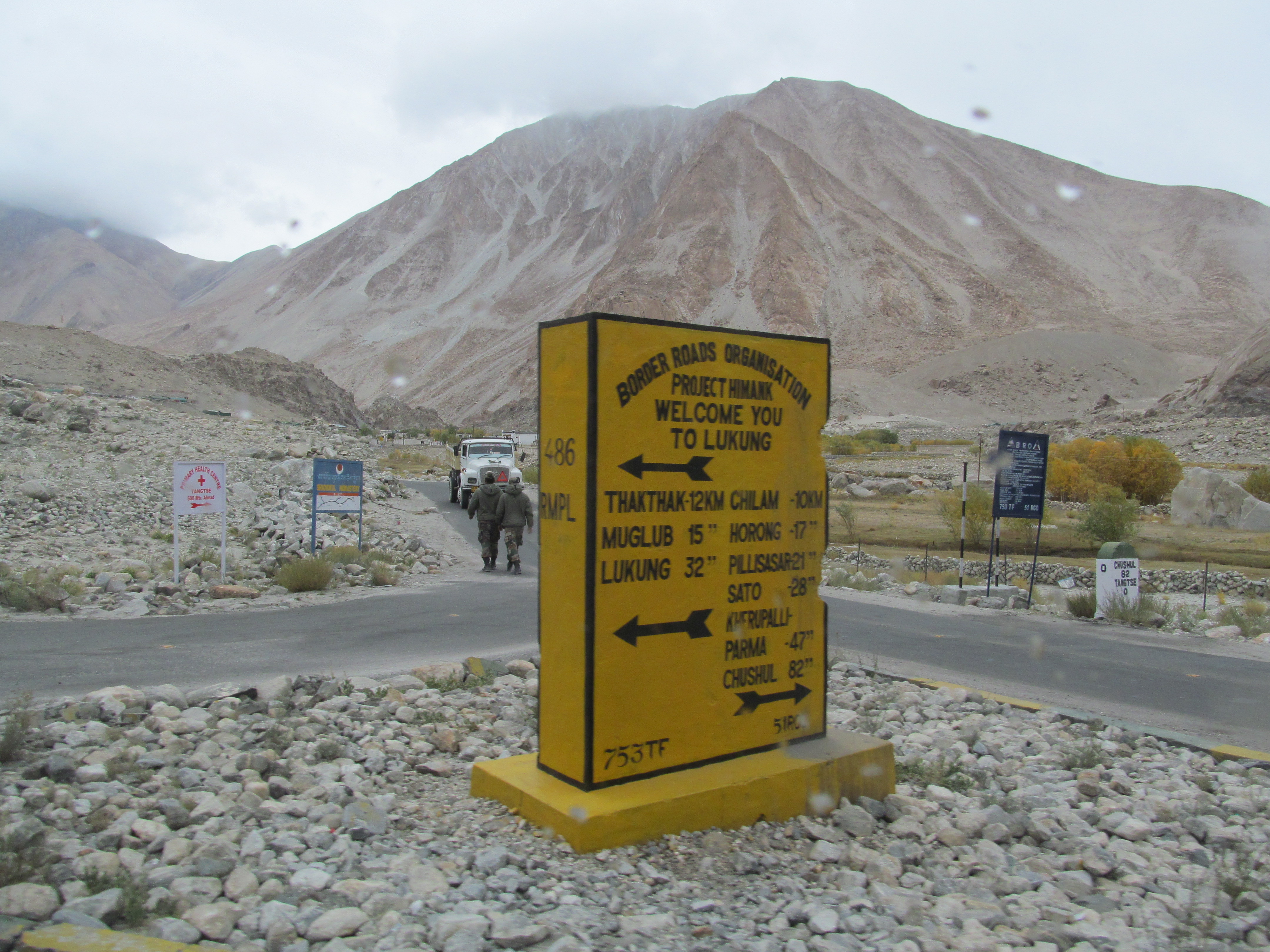 Welcomen to Lukung, the milestone (September 2013)
 -
 The Pangong Tso and Lukung on the right (September 2013)


_(10067277855).jpg)
References[edit | edit source]
- ↑ "Lukung". Lukung on Google Maps.
- ↑ Dutta, Sanjay (13 April 2021). "Army, people power mobile service in village on Pangong shore". The Times of India. Retrieved 10 June 2023.
- ↑ Kohli, Manek (7 July 2018). "A Julley Good Time: Exploring Ladakh". Outlook Traveller. Retrieved 3 November 2021.
 | This Ladakh, India location article is a stub. You can help Bharatpedia by expanding it. |